Where the Mountains Meet the Sea: A Coastal Guide
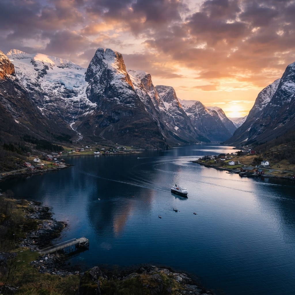
Places where mountains meet the sea are geological transition zones called ecotones, formed primarily by tectonic plate collisions and glacial erosion. These dramatic landscapes, such as Norway’s fjords or California’s Big Sur, occur where high-elevation mountain ranges abruptly descend into deep ocean waters, creating unique vertical ecosystems and biodiversity hotspots.
The Geological Formation of Seaside Mountains
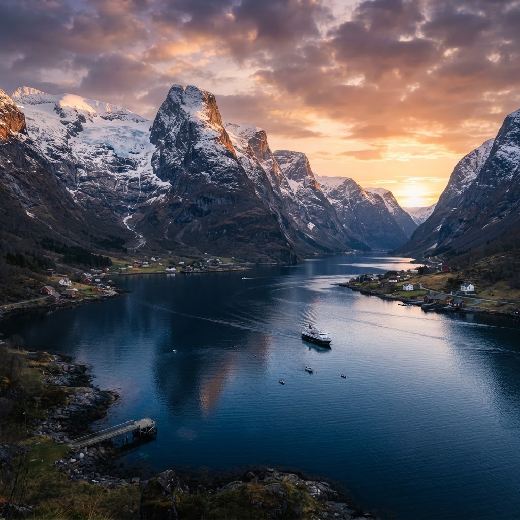
Coastal mountain ranges form primarily through tectonic subduction, where oceanic plates collide with continental crust to uplift massive landmasses. This vertical growth creates extreme relief, often exceeding 1,000 meters in elevation gain over just a few kilometers of horizontal distance. Once elevated, the mountains undergo intense physical weathering from marine air and wave energy. The Pacific Ring of Fire, for example, accounts for nearly 75% of these active coastal mountain formations due to constant seismic activity. Erosion by salt-spray crystallization weakens rock faces, while hydraulic action from waves carves deep fjords and sea stacks. Over a span of 10 to 50 million years, these processes transform jagged, unstable peaks into the iconic, steep-cliffed coastlines we observe today. Scientists categorize these areas based on their bedrock stability; igneous granite coasts, like those in Acadia National Park, offer high structural integrity for climbing, whereas sedimentary limestone coasts, common in the Mediterranean, are highly susceptible to rapid, episodic erosion and collapse. Understanding this geology is essential for safe navigation and site selection.
| Formation Type | Key Feature | Primary Driver | Example Region |
|---|---|---|---|
| Tectonic Fjord | Deep, glaciated valleys | Glacial Scouring | Norway |
| Convergent Coast | High-altitude ridges | Plate Collision | California, USA |
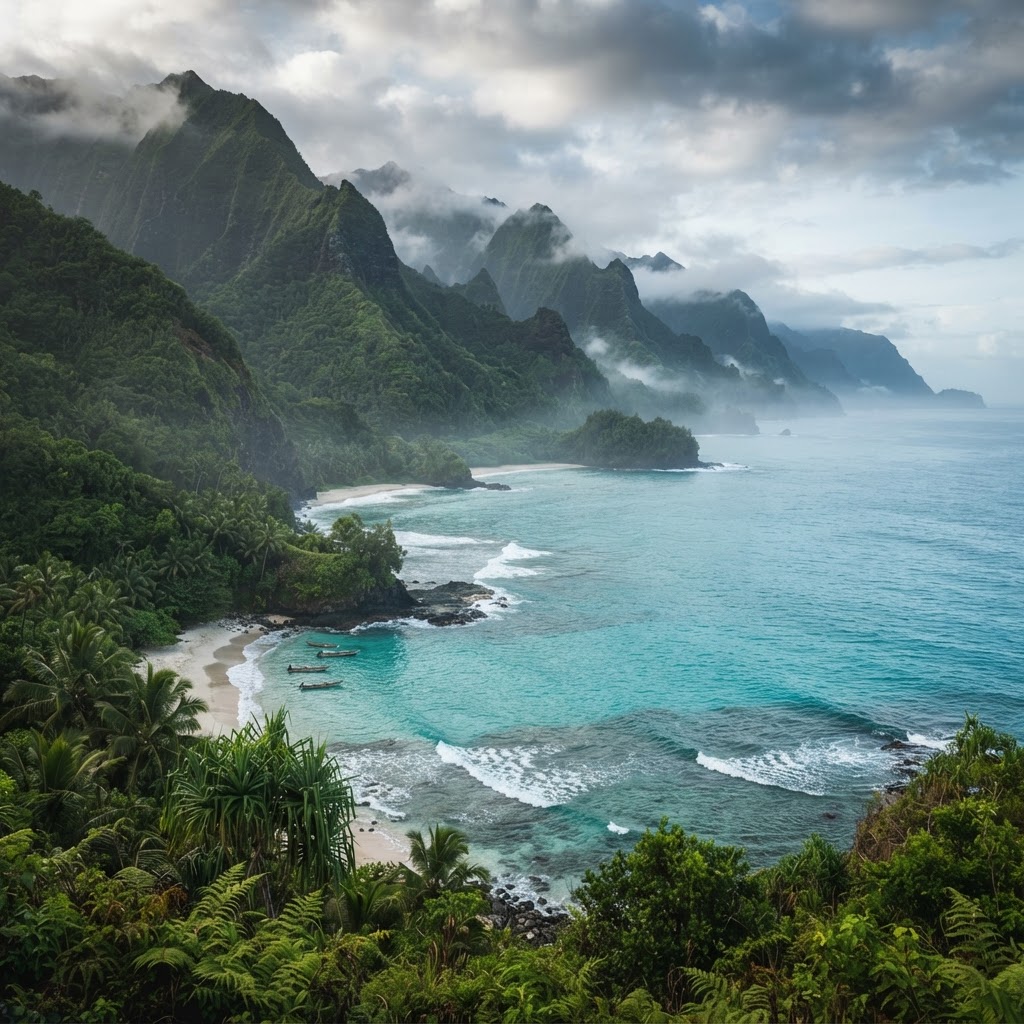
| Volcanic Arch | Steep, basaltic cliffs | Magmatic Activity | Kauai, Hawaii |
Iconic Destinations Where Mountains Touch the Ocean
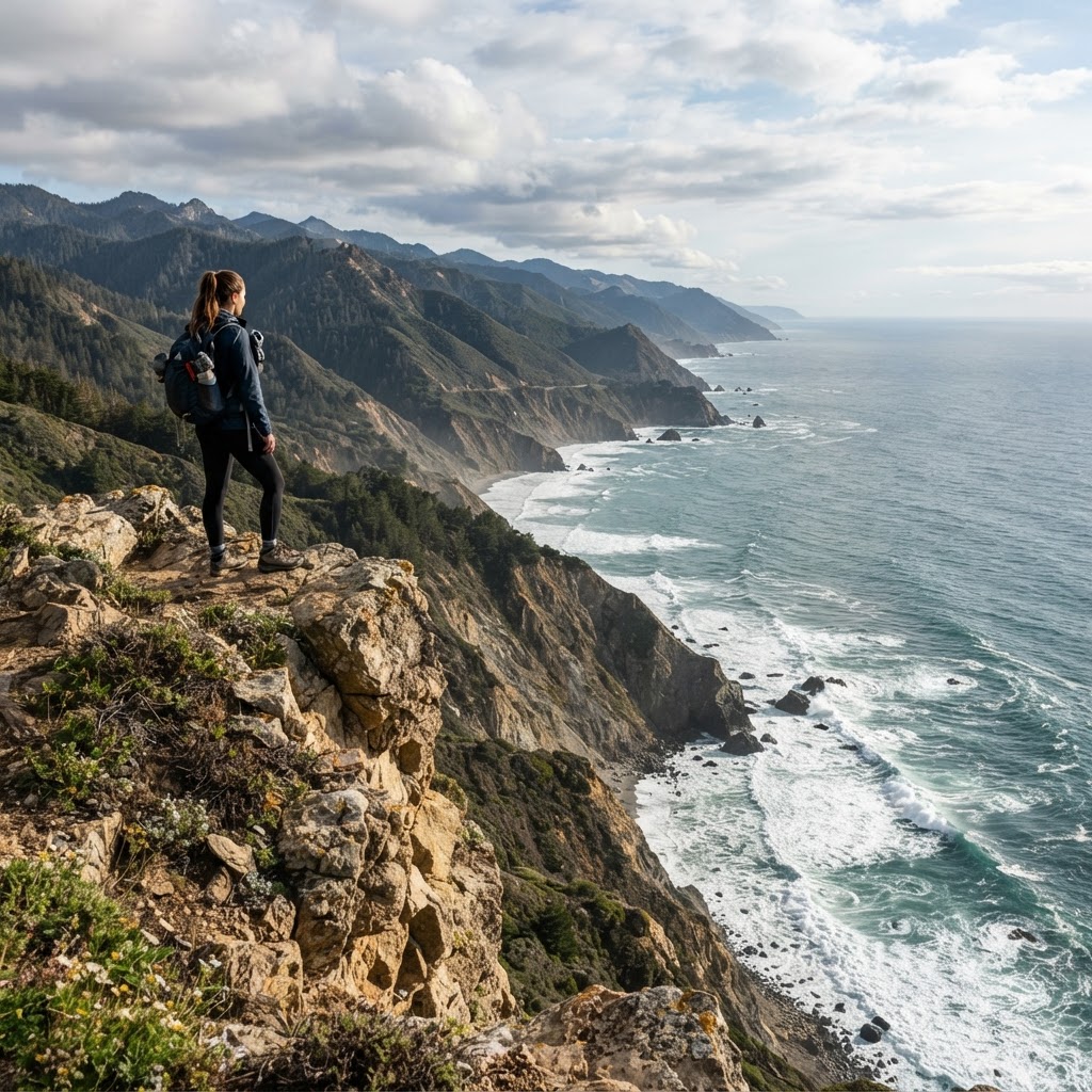
World-renowned coastal mountain destinations offer travelers a rare intersection of alpine environments and maritime climates. Norway remains the gold standard for fjord exploration, featuring vertical granite walls that plunge over 1,500 meters into the Lysefjord. In contrast, California’s Big Sur region exhibits a “Mediterranean” mountain-sea interaction, where the Santa Lucia Mountains rise 5,000 feet directly from the Pacific Ocean floor in just three miles. This creates a hyper-specific microclimate where coastal redwoods—the tallest trees on Earth—thrive on fog drip rather than just rainfall. Similarly, the Milford Sound in New Zealand displays temperate rainforests clinging to cliff faces that receive over 6,000mm of annual precipitation. These locations define nature adventure travel by providing a versatile landscape for dual-terrain recreation. Outdoor enthusiasts can traverse ridge lines at sunrise and engage in ocean-based activities by noon, maximizing exposure to diverse biomes. Whether you are trekking the 30-mile Lost Coast trail in California or navigating the glacial waters of the Geirangerfjord, these destinations require a unique set of skills. Advanced travelers often seek out the “vertical transition,” where the elevation gain allows for rapid shifts in vegetation zones—moving from marine kelp forests to sub-alpine meadows within a single hike. These regions provide unparalleled aesthetic and recreational value due to this extreme topographical compression.
The Biodiversity of the Coastal-Mountain Interface
The coastal-mountain interface functions as a biologically rich ecotone, supporting higher species density than either independent environment. Marine-derived nutrients, specifically nitrogen from salmon or whale carcasses, are often transported into mountain soils by predators like bears, which fertilize high-altitude plant communities. This nutrient cycling supports endemic species that cannot survive in isolated alpine or purely marine settings. For instance, the coastal brown bear (Ursus arctos horribilis) relies entirely on this interface to feed on migrating fish before returning to the mountain scrub. Avian species utilize the inaccessible, steep cliff faces of these mountains as high-security nesting sites, safe from ground-based predators, while feeding in the highly productive near-shore marine waters. Recent studies suggest that these transition zones represent 15% of the world’s remaining biodiversity hotspots, yet they face disproportionate threats. Sea-level rise threatens the low-elevation “toe” of these mountains, while changing precipitation patterns alter the freshwater runoff that sustains coastal kelp forests. Protecting these zones requires a cross-functional approach to conservation, as management of the marine shelf is inextricably linked to the protection of the mountain watershed above.
Preparing for Your Coastal Mountain Adventure
Safety in coastal mountain regions depends on managing the extreme variability of maritime weather patterns. Coastal peaks frequently experience “orographic lift,” where moisture-laden air from the ocean is forced up the mountain slope, causing sudden condensation, fog, and precipitation. Travelers should adhere to a three-layer clothing system: a moisture-wicking base layer, an insulating mid-layer, and a high-performance 20,000mm-rated waterproof shell. Navigation is a critical safety concern, as the steep, complex terrain often creates “canyoning effects” that cause GPS signals to bounce, making traditional map and compass skills mandatory. Always check local tide tables before embarking on coastal routes, as many iconic beaches and shoreline trails disappear entirely at high tide, creating a “trapped” scenario against the vertical cliffs. For high-altitude camping, ensure gear is rated for high winds, as maritime pressure systems can generate gusts exceeding 50 mph unexpectedly. Travelers should prioritize leave-no-trace principles, specifically on fragile mossy slopes where human foot traffic can cause permanent erosion of the thin soil layer. Respecting the local geological hazards—such as scree slides and loose rock—is vital, as gravity acts more aggressively in these transition zones than in flatter interior environments. Always register your itinerary with local park rangers and carry a satellite communication device, such as a Garmin inReach, given the total lack of cellular service in remote coastal fjords.
Photography and the Art of the Horizon
Capturing the scale of coastal mountains requires utilizing deep depth-of-field techniques and incorporating human subjects to provide reference. The high contrast between dark, shadowed cliff faces and the reflective, bright ocean surface creates a challenging dynamic range for digital sensors. Photographers achieve the best results by shooting during the “blue hour” or just after sunrise, when the maritime mist creates soft, diffused lighting that hides harsh shadows. Utilize a circular polarizer filter to cut the glare off the water, allowing the deep blues and greens of the ocean to contrast against the grey or brown mountain stone. For long-exposure shots, a shutter speed of 10-30 seconds transforms crashing white water into a smooth, ethereal mist, creating a sense of movement that complements the static, grounded weight of the mountains. Always monitor the wind direction, as the spray from the surf can accumulate on lens elements in seconds. Focus on the geometry of the horizon line; keeping this perfectly level is essential in coastal photography, as even a 1-degree tilt is instantly noticeable against the sharp verticality of the mountain peaks. By experimenting with focal lengths—using a wide 16mm lens for landscape scale and a 200mm lens to compress the distance between distant peaks and the crashing waves—you can convey the overwhelming perspective of these unique environments.
FAQ
Q: Why do coastal mountains have so much biodiversity?
These zones act as ecotones where nutrient-rich marine debris is transported inland by wildlife and wind, creating a diverse ecosystem that supports both terrestrial and aquatic life. The mix of habitats allows for high species overlap and creates specialized niches not found in inland areas.
Q: What is the most dangerous risk when hiking coastal mountains?
Sudden weather shifts and tide entrapment are the primary risks in these regions. Rapidly rising tides can cut off coastal trails against sheer cliff faces, and orographic weather patterns can drop visibility to near zero in minutes, making navigation extremely difficult for unprepared hikers.
Q: How should I prepare for a coastal mountain hike?
Prioritize waterproof, high-traction gear and carry reliable analog navigation tools like a topographic map and compass. Always research tide charts and carry a satellite-based communication device, as the steep terrain frequently blocks cellular signals and GPS connectivity in remote sections.
Q: What time of year is best to visit coastal mountains?
Shoulder seasons, specifically late spring and early autumn, offer the best balance of stable weather and fewer crowds. Summer months often bring intense sea fog that obscures vistas, while winter can bring high-velocity storms and hazardous access to high-altitude mountain trails.
Q: Are coastal mountains stable for climbing?
Geological stability varies significantly depending on the rock type; igneous formations like granite are generally safe, while sedimentary formations are often unstable and prone to rockfalls. Always consult local geological reports or park guides before attempting to climb or traverse steep coastal sections.
Practical Strategies for Coastal Mountain Exploration
Planning a trip to a coast where mountains collide with the sea requires specialized logistics. You cannot simply drive from one trailhead to the next in these vertical environments. The geography forces circuitous routes, meaning a target only five miles away might take two hours to reach by car.
Mastering the Vertical Transit
Always rent a vehicle with high torque if you plan on exploring coastal ranges like those in Norway or New Zealand. You will face constant elevation shifts that tax small engines and overheat standard braking systems. Use your low gears on steep descents to prevent brake fade, which is a common danger on cliff-side roads. If you are visiting Big Sur, fuel up in the valley before heading into the mountains, as gas stations are sparse and prices are significantly inflated.
When to Go and How Long to Stay
Avoid the peak summer months if you dislike crowds and inflated accommodation costs. The shoulder seasons—specifically late spring and early autumn—offer the best stability for both alpine hiking and water-based activities. Plan for a minimum of five days in any one region. Attempting to see these landscapes in a weekend results in exhaustion rather than immersion.
Common Pitfalls and How to Avoid Them
Many travelers mistake a coastal hike for a standard flat-land trek. The reality involves rapid weather shifts that can turn a sunny day into a freezing fog within thirty minutes. Never head out without a shell jacket, even if the forecast looks clear. You are dealing with maritime weather systems that are notoriously difficult for satellites to track accurately.
- Do not rely solely on GPS for navigation, as cellular signal frequently drops in deep mountain valleys and fjords.
- Avoid wearing heavy cotton clothing, which remains wet for hours once saturated by sea spray or mountain mist.
- Do not underestimate the “fog drip” effect; it keeps trails slippery and mud-slicked even during dry spells.
Essential Gear Checklist
Before you depart, verify your packing list includes these coastal essentials to handle the mix of alpine terrain and salt-water exposure:
- Trekking poles: These are non-negotiable for saving your knees on 1,000-meter descents.
- Waterproof dry bags: Keep your camera and electronics safe during boat trips or coastal kayak excursions.
- Micro-fiber towels: They dry much faster than standard cotton, which is vital in high-humidity coastal zones.
- Polarized sunglasses: These cut through the intense glare reflecting off the ocean surface near cliff bases.
Frequently Asked Questions
Is it safer to hike near the ocean or in the high peaks?
High-altitude ridge trails are safer regarding rock stability, whereas cliff-side coastal trails are prone to unexpected erosion. Always check local trail reports for recent “slips” or closures caused by heavy rainfall. If a path feels soft underfoot near the edge, turn back immediately.
Can I find budget-friendly lodging in these high-demand regions?
Yes, look for campsites situated in state or national forests located slightly inland from the primary tourist hotspots. These often provide access to the same trail systems at a fraction of the cost of coastal boutique hotels. Many coastal regions also offer “hiker huts” that provide basic shelter for a small nightly fee if you are willing to pack your own sleeping gear.
Leave a Reply